


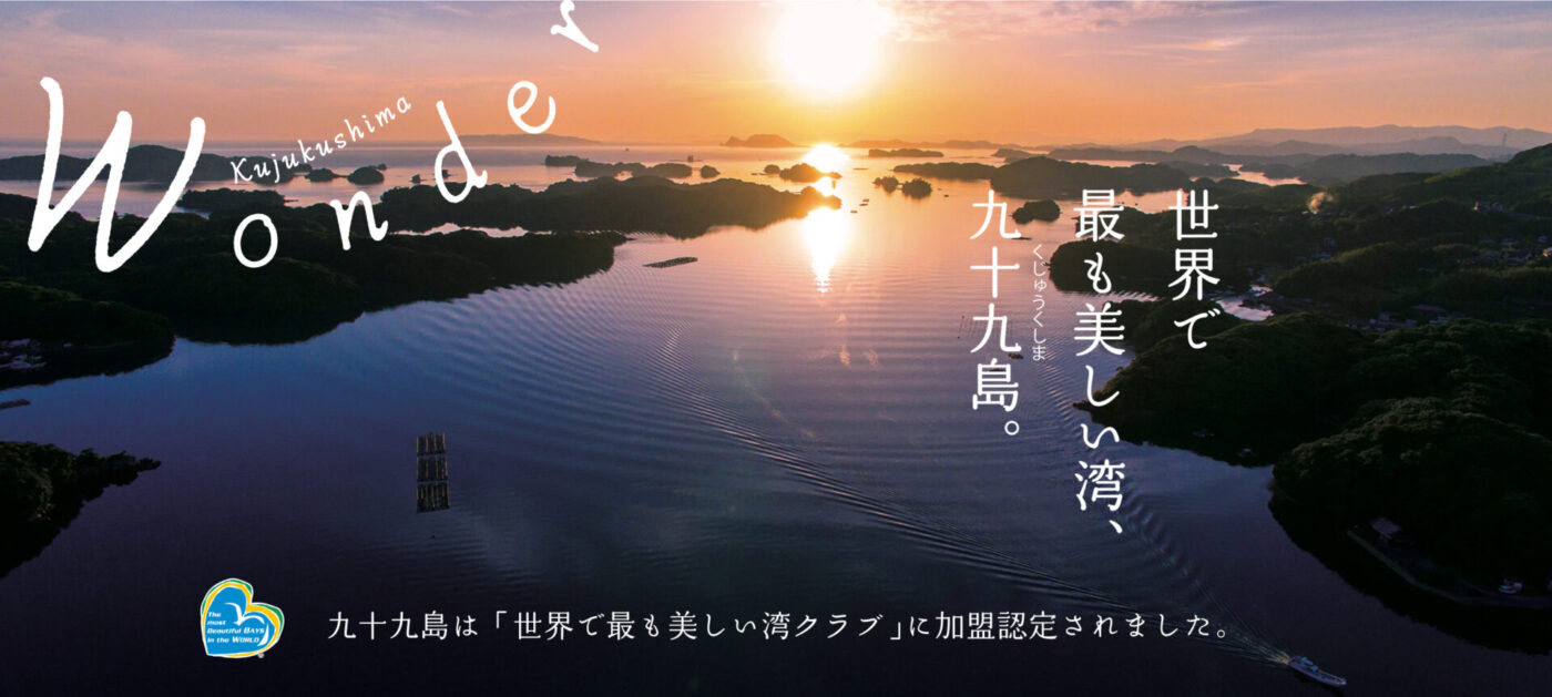


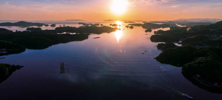
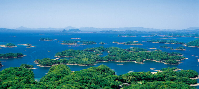


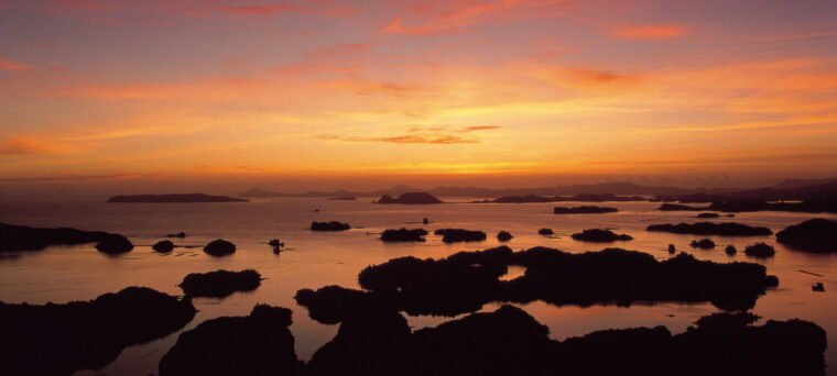
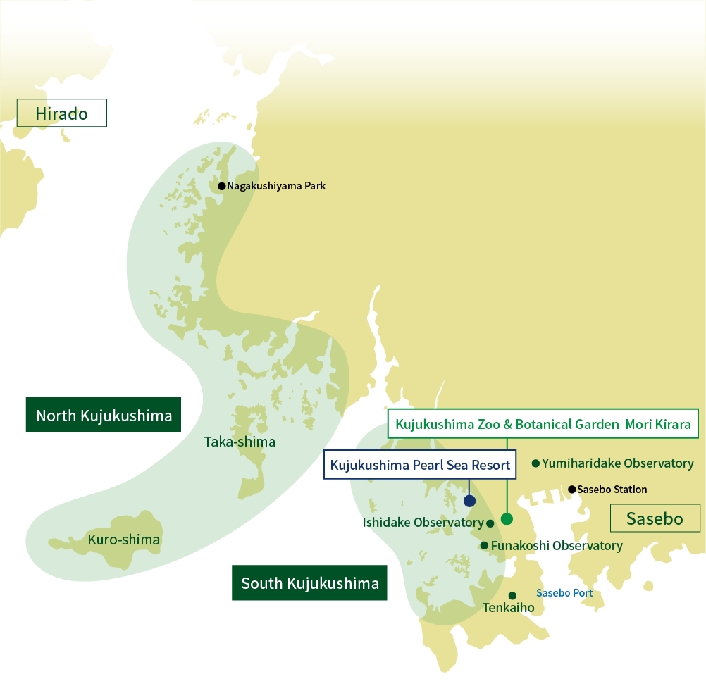
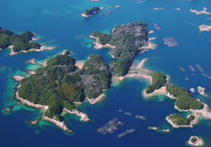
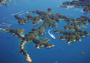
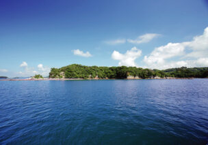
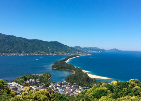
Scattered about 25 kilometers from the outside of sasebo bay to the north of Hirado,
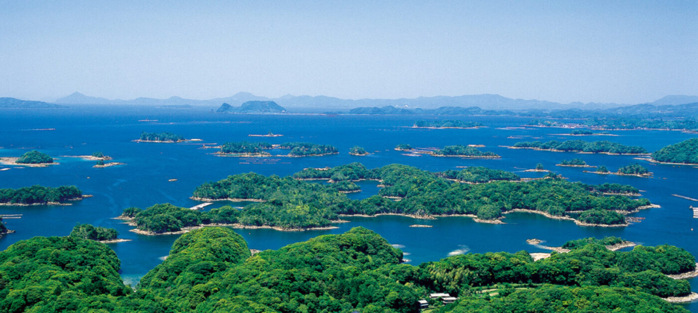
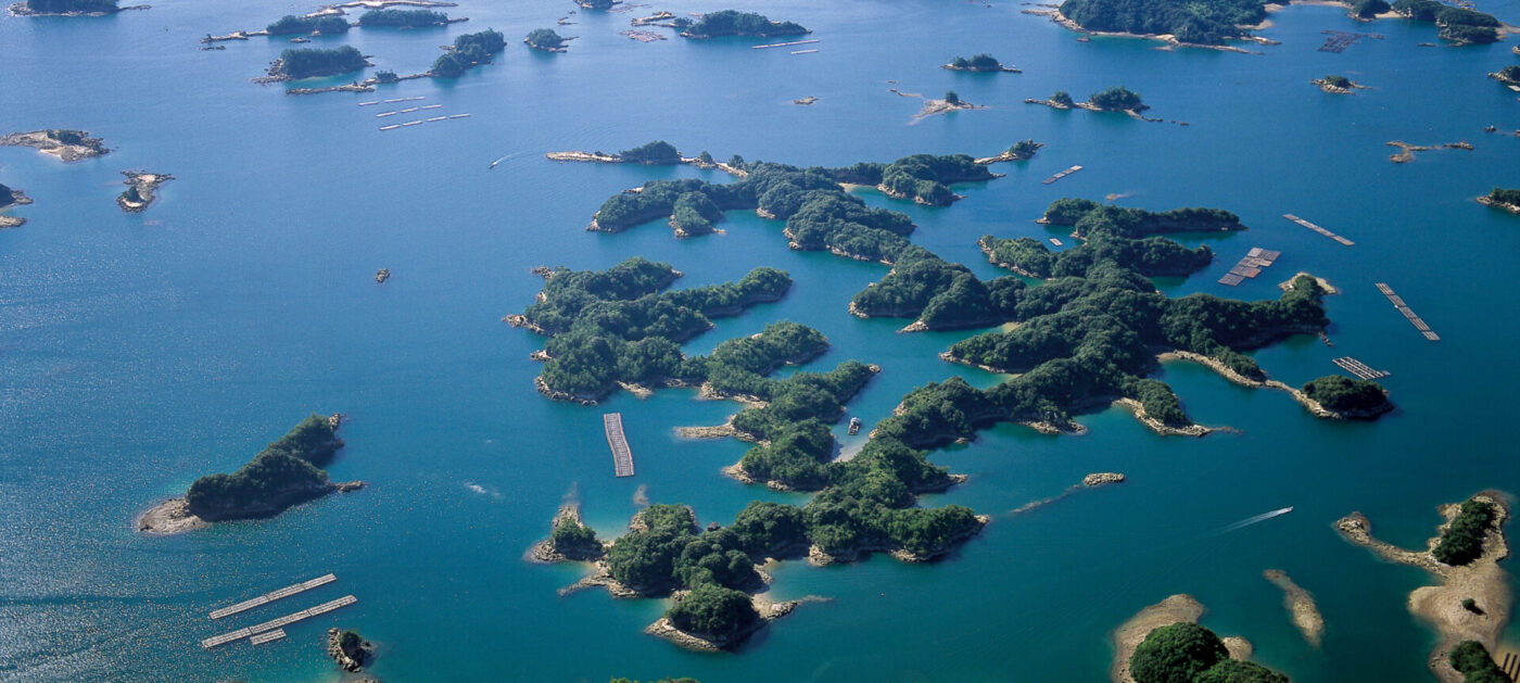
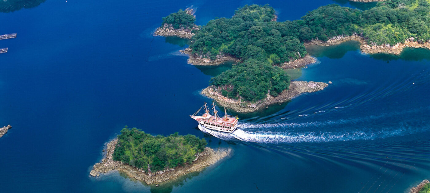
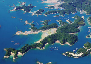
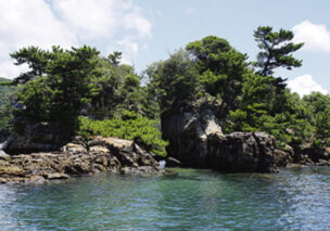
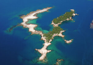
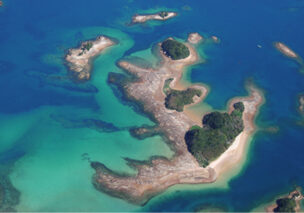
Kujukushima are beautiful natural landscapes with a complex interwoven rias coast and islands.
Almost the entire area has been designated as the “Saikai national park”, and the density of islands is the highest in Japan.
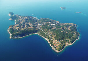
Ninety-nine is used as a metaphor for the number that means so much, and the true number of islands is 208.
The little knowledge of Kujukushima
The little knowledge of Kujukushima
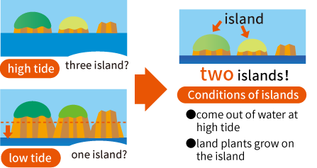
How many islands are there in the Kujukushiama?
According to a survey conducted by local volunteers in 2001,there are 208 islands in the Kujujushima area. Kujuku (99) refers to the wondrous fact that the number of islands is too numerous to count. The name Kujuku was already being used in the middle of the Edo era,showing that these islands were a treasured scenery from times past.
How to count the islands?
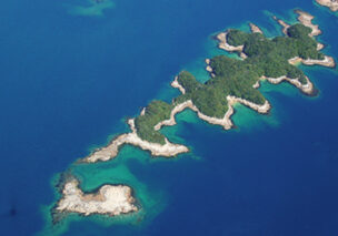
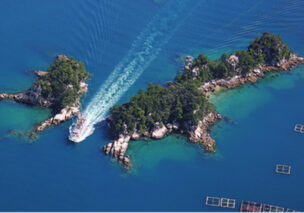
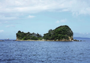
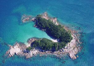
The Kujukushima may be seem like many independent islands at high tide,but at low tide, many islands are found to be connected.
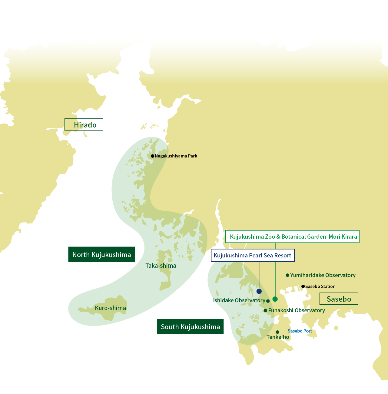
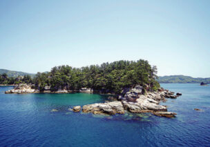
South Kujukushima
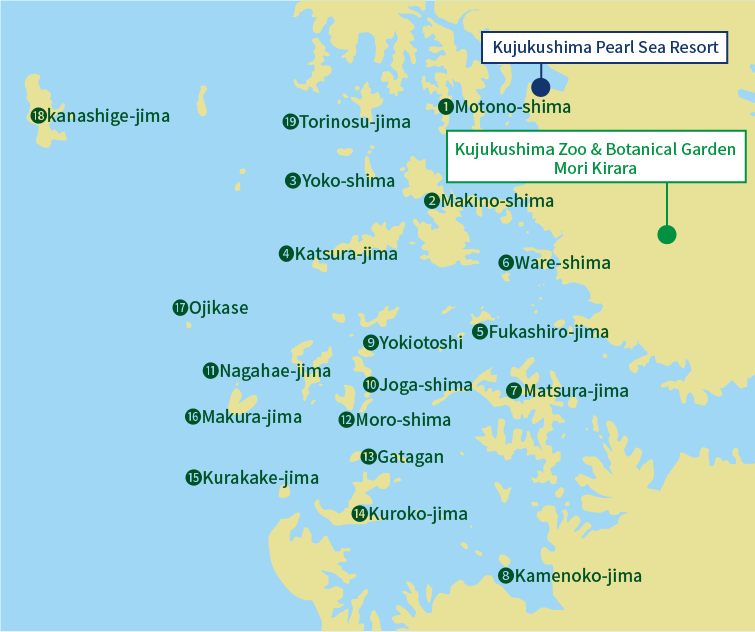
❶ Motono-shima
❷ Makinoi-shima
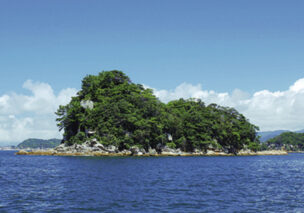
❸ Yoko-shima
❹ Katsura-jima
❺ Fukashiro-jima
❻ Ware-shima
❼ Matsura-jima
❽ Kamenoko-jima
❾ Yokiotoshi
❿ Joga-shima
⓫ Nagahae-jima
⓬ Moro-shima
⓭ Gatagan
⓮ Kuroko-jima
⓯ Kurakake-jima
⓰ Makura-jima
⓱ Ojikase
⓲ kanashige-jima
⓳ Torinosu-jima
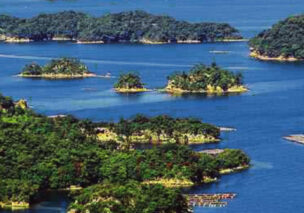
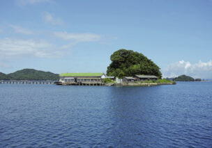
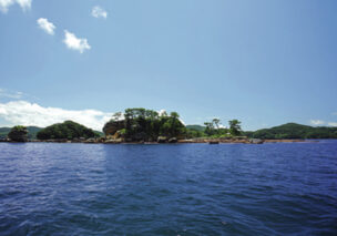
North Kujukushima
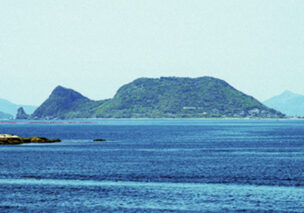
Taka-shima
Kuro-shima
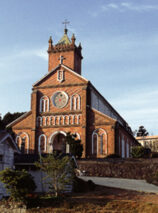
Kuro-shima Cathedral
The club of the most beautiful bays of the world
Using the resources of the gulf for information exchange and information campaigns on tourism and economic development, NGO founded in Berlin, Germany on 10 March 1997. There are 27 member states and 44 bays (October 2018 now).
In Japan, there are four places in Matsushima bay (Miyagi Prefecture),Toyama Bay (Toyama Prefecture), Suruga Bay (Shizuoka Prefecture),Miyazu Bay・Ine Bay (Kyoyo Prefecture). In April 2018, the Kujukushima bay was recognized as the fifth place in Japan and joined the world’s most beautiful bay club.
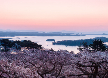
Matsushima bay(Miyagi)
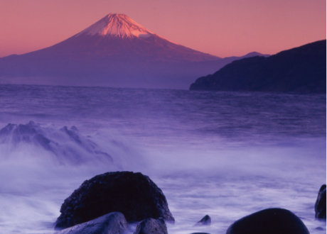
Suruga Bay(Shizuoka)
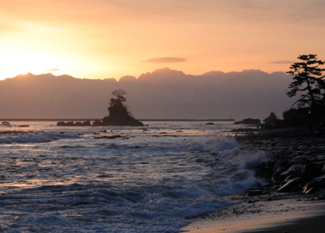
Toyama Bay(Toyama)
Miyazu Bay・Ine Bay(Kyoyo)
Join the international institutions, and join the bay at home and abroad hand in hand, not only to the domestic but also to the overseas to carry forward the charm of Kujukushima.
Please also in the future to the Kujukushima publicity efforts to help.
The mayor of Sasebo City Tomonaga Norio


